Surveying
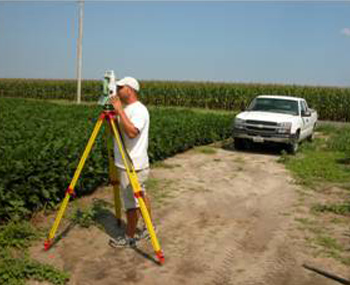
In addition to providing vital support to our own land planning and engineering activities, Vista Design's Surveying Division provides a comprehensive range of client services. Through substantial investments in state-of-the-art hardware technologies such as robotic instruments and GPS/RTK systems, in addition to advanced software applications typified by ArcGIS, AutoCAD and Bentley MicroStation, Vista Design is able to achieve levels of detail and accuracy that were heretofore unattainable. Vista Design's survey-related services include, but are not limited to: construction stakeout, ALTA/ASCM Surveys, topographical surveys, location surveys, boundary surveys and monumentation, property line retracement, as-built surveys, deed and chain of title research, rights-of-way and easement determinations, utilities investigations, property mosaics, plat and legal description preparation, aerial mapping control, FEMA Elevation Certificates and GIS data collection. Vista's field surveyors have consistently demonstrated proficiency in both conventional and electronic surveying methodologies.
Vista Design's surveying team is committed to providing the very highest level of precision, reliability and customer service available today. |
 |


